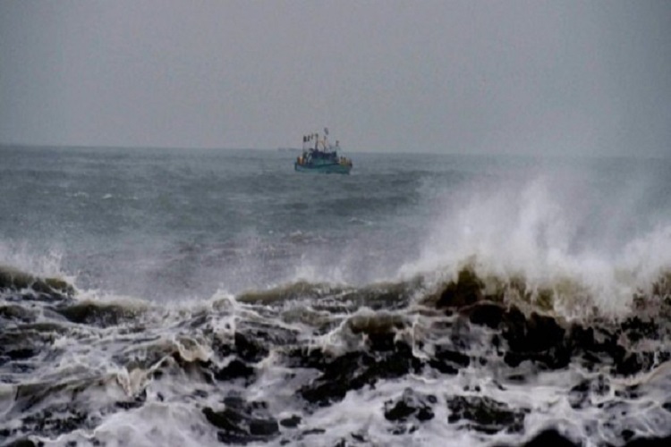
Cyclonic Storm Pabuk over the Andaman sea and neighbourhood moved further west-northwestwards with a speed of 21 kmph in the past six hours, the Indian Meteorological Department said on Saturday. The MeT department further warned fishermen against venturing out to sea.
The MeT department said; "the storm is very likely to move west-northwestwards for some more time. Thereafter, it is very likely to move northwestwards and cross Andaman Islands around evening of January 6 as a cyclonic storm with a wind speed of 70-80kmph gusting to 90kmph. Thereafter, it is very likely to move north-northwestwards and then recurve northeastwards towards Myanmar coast and weaken gradually during January 7 and 8".
ALSO READ | Cyclone Pabuk: Odisha government puts seven districts on high alert, heavy rains to hit Andaman and Nicobar islands from January 5-7
Rainfall at many places with heavy falls at isolated places very likely to commence over the Andaman Islands and gale wind speed reaching 70-80kmph gusting to 90kmph is likely to prevail.
The IMD warned of damage to thatched huts and power and communication lines when the storm passes the region. It urged people on the Andaman Islands to remain in safe places and suspend all fishing operations in the Andaman Sea and southeast and east-central Bay of Bengal from January 5-7 and over east central and adjoining the southeast Bay of Bengal on January 8.
The storm is likely to be very rough over south-east and east-central Bay of Bengal, the Andaman Islands and the adjoining Andaman Sea by January 8 and rough over east-central and adjoining south-east Bay of Bengal by January 8.
Pabuk, a once in three-decades weather system, originated over the Gulf of Thailand made landfall on Friday afternoon in Nakhon Si Thammarat province.

