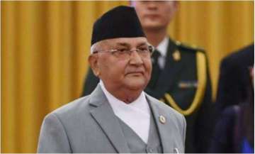
The United Nations will not use the ‘new’ map that is being issued by the KP Sharma Oli-led Nepal government. As per the new map that Nepal is reportedly sending to India and the rest of the world, several Indian territories have been shown under Nepal sovereign boundary.
This map will, however, not be used by the UN because UN prints its own maps and does not use maps of any individual counties.
All UN maps come with a disclaimer, “The boundaries and names that are shown and the designations that have been used on this map do not imply the official endorsement or acceptance by the UN.”
The UN does not use either India’s or Pakistan’s or even China’s version of the South Asia map. In UN’s maps it is more about who is administrating the territory rather than the country’s claims.
The new Nepali map shows Indian territories of Limpiyadhura, Lipulekh, and Kalapani as its own. India had strongly protested against Nepal’s actions, calling it a "unilateral act", one that is "unjustified cartographic assertion".
Important thing to note here is that maps that have been issued historically by Nepal never raised a claim on these territories.
Latest World News
