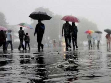
Parts of north and central India are likely to receive rains from February 3 to 5, the India Meteorological Department (IMD) said on Tuesday. The IMD said a gradual rise in minimum temperatures is very likely over most parts of northwest and adjoining central India during the next three to four days and the current spell of cold wave conditions is likely to abate in the next 24 hours.
According to the National Weather Forecasting Centre of the IMD, a western disturbance as a cyclonic circulation lies over Afghanistan. An induced cyclonic circulation also lies over central Pakistan and adjoining west Rajasthan.
These systems are likely to affect weather over northwest Himalayan region from the night of February 2.
"The confluence of southwesterlies, in association with the western disturbance and lower level southeasterlies, are very likely over the plains of northwest and adjoining areas of central India during February 3-5," the IMD said.
Under the influence of above systems, scattered to fairly widespread, light to moderate rain/snow with isolated thunderstorm, lightning and hail (is) very likely over the western Himalayan region from February 2 night to February 5.
"Isolated heavy rainfall/snowfall is likely over Jammu and Kashmir on February 3 and 4, and over Himachal Pradesh on February 4," the IMD said.
Fairly widespread light to moderate rain/thundershowers with isolated lightning and hailstorm are likely over plains of northwest India during February 3 to 5, over Madhya Pradesh from February 4 to 5 and over east Uttar Pradesh, Bihar and Jharkhand from February 5 to 6.
Latest India News

